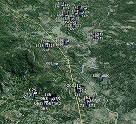
Every Tree is located by GPS
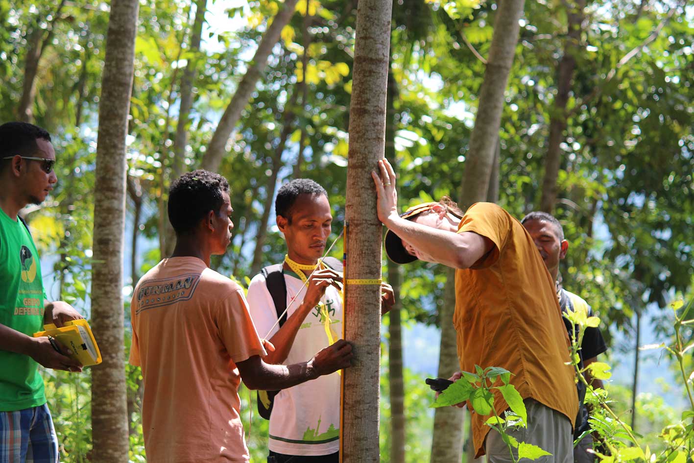
 WithOneSeed is planting mahogany trees in the mountainous sub district of Baguia in Timor Leste. One of the key management strategies for the reforestation program is to track the trees progress and this is done by taking a GPS ‘waypoint’ of every tree planted under the WithOneSeed program.
The GPS ‘waypoint’ allows WithOneSeed to know how many trees are under management each year. An annual count is conducted and this information is used to know how many trees each farmer has and therefore how much income he or she will get each year for tree maintenance and management. This information is also used to allow WithOneSeed to report to those who are financially supporting the project.
The GPS activity is carried out after each annual planting.